Can a satellite really see minerals underground?
Not directly. Satellites read the surface, and the surface often tells you what lies below.
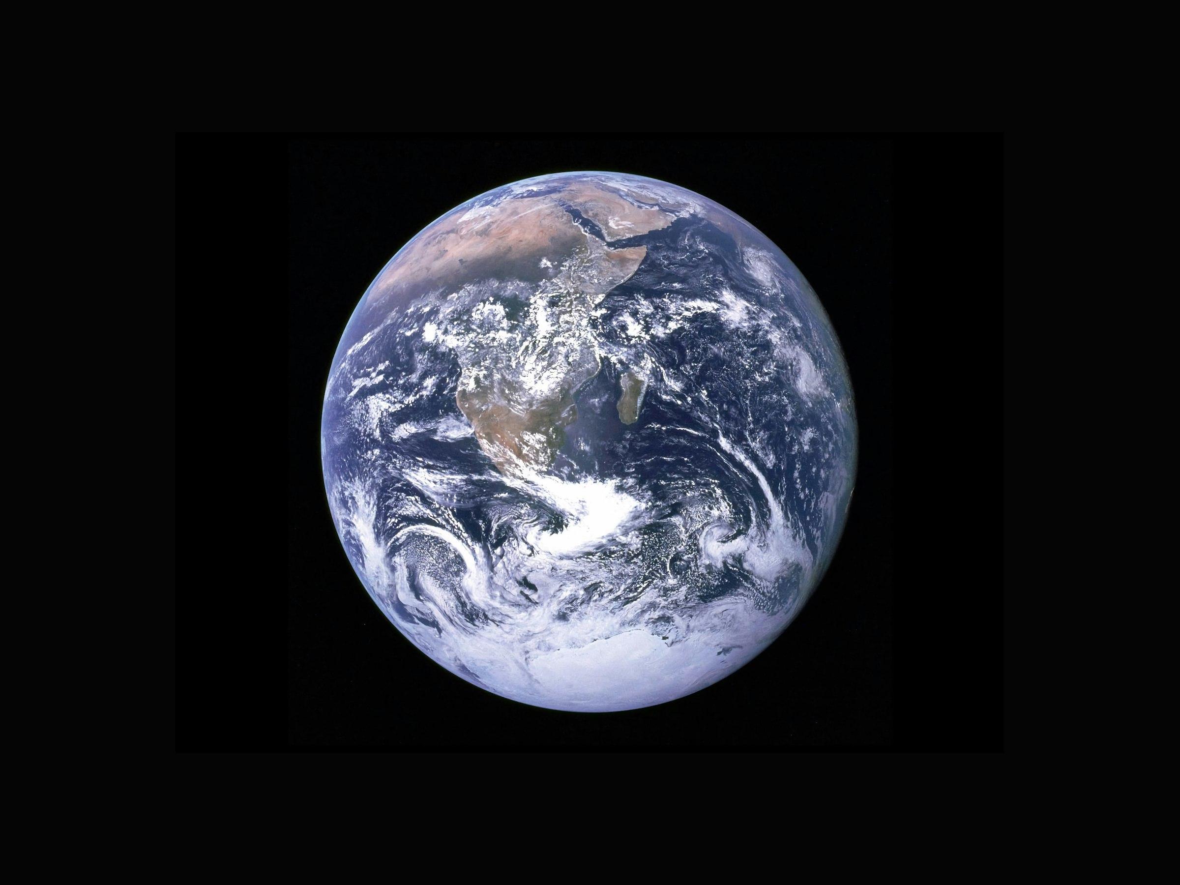
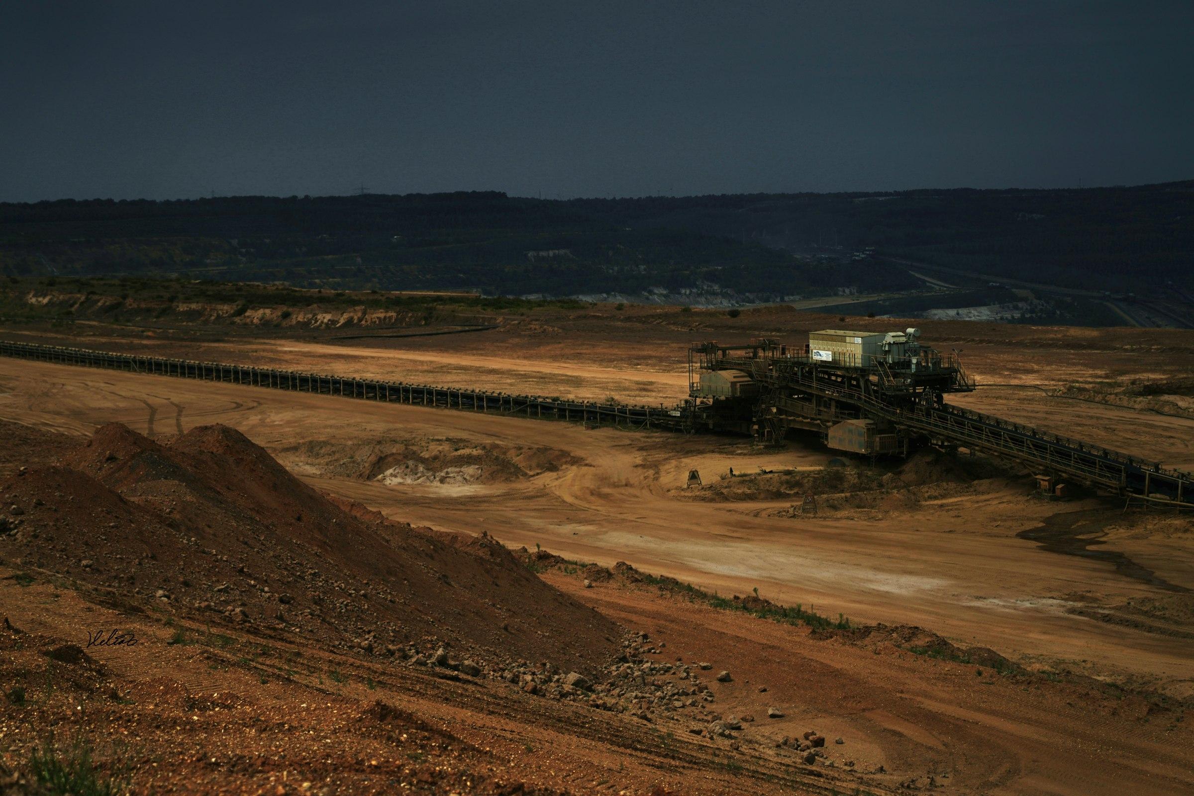
Satellites cannot look through rock. What they can do is read the surface in great detail: the colour and chemistry of exposed rock, the clays and iron oxides that form when fluids move through the ground, and the faults and fractures that guide those fluids.
Mineral deposits rarely sit in isolation. They usually leave a footprint at surface: alteration halos, oxidised caps, structural corridors. Our work is to find those footprints across your whole license and rank them.
Combining many weak signals
A single signal is rarely conclusive. We combine several layers (spectral signatures, structure, terrain and available geophysical data) and look for places where they agree. Where several independent signs line up, the target moves up the list.
That is also why every figure we give comes as a range with a confidence level. It tells you how strong the evidence is, not just where to look.
We don't claim to see through rock. We show you where the surface is telling the strongest story.
Where it works best
Accuracy is best on exposed, dry ground and lower under thick soil, sand or forest. Drilling remains the only way to confirm a deposit; our study tells you where that drilling is most likely to pay off.